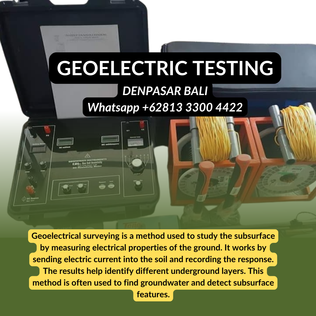
The Hidden Map Beneath Your Feet: The Ultimate Guide to Geoelectric Tests in Bali
Januari 11, 2026 | by Admin

RELATED POSTS
View all
Januari 11, 2026 | by Admin
View all