Geophysical Survey for Construction in Bali: Ensuring Safe and Sustainable Development
Mei 4, 2026 | by Admin

Geophysical survey for construction in Bali has become an essential step in ensuring the safety and sustainability of new developments on the island. As Bali continues to attract both domestic and international investment in real estate, infrastructure, and tourism-related projects, the need for accurate geological assessments has never been more critical. The unique topography of Bali, characterized by volcanic rock formations, limestone caves, and complex soil structures, presents specific challenges that require advanced geophysical techniques to navigate effectively. By employing these methods, developers can mitigate risks associated with ground instability, subsidence, and environmental impact, ultimately leading to more resilient and environmentally responsible construction practices.
Understanding the Role of Geophysical Surveys
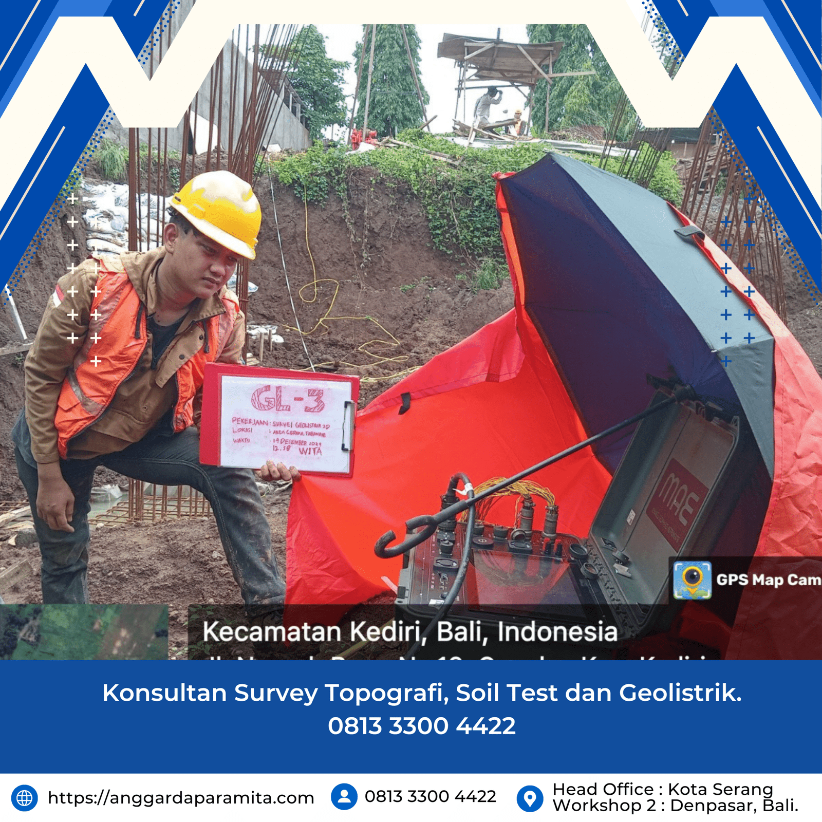
Geophysical surveys involve the use of non-invasive technologies to gather data about the subsurface conditions of a site. These surveys are crucial for identifying potential hazards such as underground water sources, fault lines, and weak soil layers that could compromise the integrity of a building or structure. In Bali, where the terrain is often rugged and unpredictable, geophysical surveys provide a detailed map of the land’s composition, enabling engineers and architects to make informed decisions during the planning and design phases. Techniques such as seismic refraction, electrical resistivity, and ground-penetrating radar (GPR) are commonly used to assess the geological characteristics of a site before construction begins.
Key Benefits of Geophysical Surveys in Construction

One of the primary advantages of conducting geophysical surveys in Bali is the ability to reduce construction risks. Traditional drilling methods can be time-consuming and costly, while geophysical surveys offer a faster and more efficient way to evaluate subsurface conditions. This not only saves time but also minimizes disruption to the surrounding environment. Additionally, these surveys help identify areas that may require additional foundation support, such as deep piles or reinforced concrete structures, which is particularly important in regions prone to earthquakes or heavy rainfall.
Another significant benefit is the role of geophysical surveys in promoting sustainable development. By understanding the natural features of a site, developers can avoid unnecessary excavation and minimize damage to local ecosystems. For instance, in areas with limestone karst formations, improper construction can lead to sinkholes and groundwater contamination. Geophysical surveys allow for precise planning that respects the delicate balance of Bali’s natural environment.
Challenges and Considerations in Bali’s Unique Environment

Despite the advantages, conducting geophysical surveys in Bali comes with its own set of challenges. The island’s diverse geological makeup, including volcanic soils and varying levels of moisture content, can affect the accuracy of certain survey techniques. For example, electrical resistivity surveys may be less effective in areas with high clay content, as the conductivity of the soil can distort readings. To overcome these challenges, it is essential to combine multiple survey methods and consult with experienced geophysicists who understand the local conditions.
Moreover, the cultural and environmental sensitivity of Bali requires careful coordination with local authorities and communities. Many construction projects in Bali must adhere to strict regulations aimed at preserving the island’s natural beauty and cultural heritage. Geophysical surveys play a key role in ensuring compliance with these standards by providing data that supports environmentally friendly construction practices.
Best Practices for Effective Geophysical Surveys
To maximize the effectiveness of geophysical surveys in Bali, several best practices should be followed. First, it is important to conduct a thorough site assessment before selecting the appropriate survey method. This includes reviewing historical geological data, weather patterns, and previous construction activities in the area. Second, collaboration between geophysicists, engineers, and local experts is crucial for interpreting the data accurately and making informed decisions. Third, regular monitoring of the site during and after construction can help detect any changes in subsurface conditions that may affect the stability of the structure.
Additionally, integrating geophysical survey results with other technologies, such as geographic information systems (GIS) and 3D modeling software, can enhance the precision of construction planning. These tools allow for a more comprehensive view of the site, enabling developers to visualize potential risks and optimize their designs accordingly.
Conclusion
In conclusion, geophysical surveys are an indispensable tool for ensuring safe and sustainable construction in Bali. By leveraging advanced technologies and expert knowledge, developers can navigate the island’s complex geological landscape with confidence. These surveys not only enhance the structural integrity of buildings but also contribute to the preservation of Bali’s unique environment and cultural heritage. As the demand for construction in Bali continues to grow, the importance of geophysical surveys will only increase, making them a vital component of any successful development project.
RELATED POSTS
View all

5 Kesalahan Umum dalam Survei Tanah yang Bisa Dihindari dengan Geolistrik
Februari 23, 2026 | by Admin

Survey Geolistrik untuk Pertanian : Mencari Sumber Air di Lahan Kering
November 12, 2025 | by Admin