Sinkhole Detection Survey Bali Reveals Hidden Geological Risks for Tourists and Residents
Mei 4, 2026 | by Admin

Sinkhole detection surveys in Bali have recently uncovered significant geological risks that could impact both tourists and residents. The island, known for its breathtaking landscapes and vibrant culture, is now facing a new challenge as hidden sinkholes threaten to disrupt daily life and tourism activities. These natural formations, which occur when the ground collapses into underground cavities, have been identified in several key areas across the island. The findings of these surveys have sparked concern among local authorities and environmental experts, who are now working to assess the extent of the problem and implement necessary safety measures.
Understanding Sinkholes and Their Formation
Sinkholes are a natural phenomenon that occurs in regions with soluble rock formations such as limestone, gypsum, or dolomite. Over time, water can erode these rocks, creating voids beneath the surface. When the weight of the overlying soil and structures becomes too much for the weakened rock to support, a sinkhole can form. In Bali, the presence of volcanic rock and the island’s unique geological composition contribute to the potential for sinkhole development. The recent surveys have revealed that certain areas, particularly those with high groundwater activity and historical volcanic activity, are more prone to this risk.
Impact on Tourism and Local Communities
Bali is one of the most popular tourist destinations in the world, attracting millions of visitors each year. The discovery of sinkholes poses a serious threat to the island’s infrastructure, including roads, hotels, and cultural sites. Tourists may be at risk if they unknowingly step onto unstable ground, while local communities face the challenge of ensuring their homes and businesses remain safe. In some cases, sinkholes have already caused damage to property, leading to costly repairs and disruptions in daily life. Authorities are now working closely with geologists and engineers to monitor the affected areas and prevent further incidents.
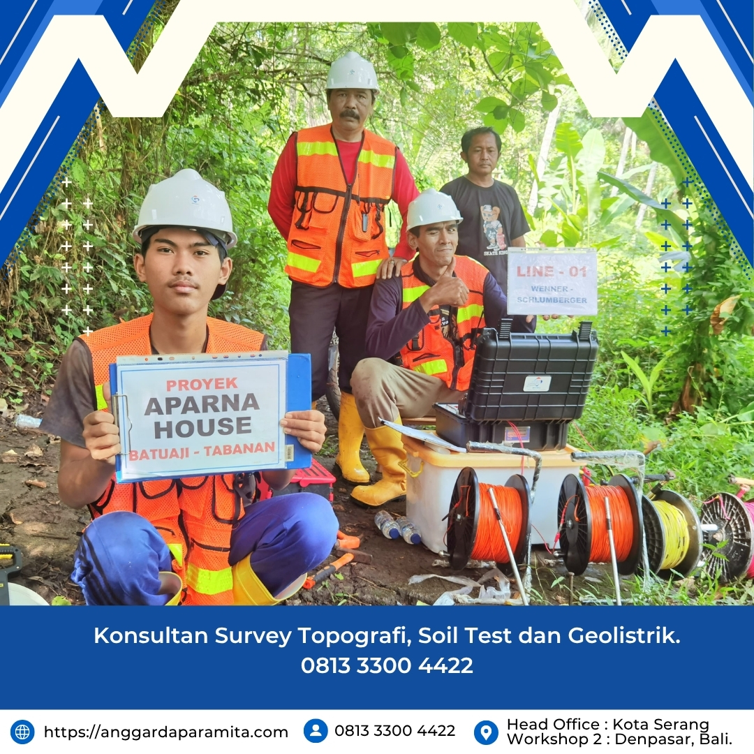
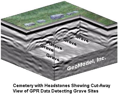
Methods Used in Sinkhole Detection Surveys
To identify potential sinkholes, researchers have employed advanced geophysical techniques such as ground-penetrating radar (GPR), electrical resistivity tomography (ERT), and LiDAR scanning. These tools allow scientists to map subsurface structures and detect anomalies that could indicate the presence of a sinkhole. In addition, satellite imagery and drone technology have been used to monitor changes in the landscape over time. By combining these methods, experts can create detailed maps of vulnerable areas and predict where future sinkholes might develop.
Preventive Measures and Risk Management
In response to the findings, local authorities have initiated a series of preventive measures to mitigate the risks associated with sinkholes. These include regular monitoring of high-risk zones, reinforcing structures in vulnerable areas, and educating residents and tourists about the signs of potential sinkholes. Public awareness campaigns have also been launched to inform people about what to do if they encounter an unusual depression in the ground or notice cracks in buildings. Additionally, urban planning strategies are being revised to avoid construction in areas deemed unsuitable due to geological instability.
Long-Term Implications for Bali’s Development
The discovery of sinkholes has raised important questions about the long-term sustainability of Bali’s development. As the island continues to grow and attract investment, it is crucial to balance economic growth with environmental protection. Experts suggest that future infrastructure projects should incorporate geological assessments to minimize the risk of sinkhole-related damage. Moreover, ongoing research and collaboration between scientists, government agencies, and local communities will be essential in managing this emerging challenge.
Conclusion
The sinkhole detection surveys in Bali have highlighted a critical issue that requires immediate attention. While the island’s natural beauty remains its greatest asset, the hidden geological risks pose a real threat to both residents and visitors. By implementing effective monitoring systems, raising public awareness, and adopting sustainable development practices, Bali can work towards minimizing the impact of sinkholes and ensuring a safer environment for all. As the island moves forward, it will need to remain vigilant and proactive in addressing the challenges posed by its dynamic and ever-changing landscape.
RELATED POSTS
View all